14th route "My First Stamp Book"

- 2:20 h
- 8.95 km
- 188 m
- 188 m
- 432 m
- 577 m
- 145 m
- Start: Parking lot on the L239 from Thale to Friedrichsbrunn
- Destination: Parking lot on the L239 from Thale to Friedrichsbrunn
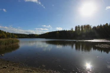
The Bergrat-Müller Pond was created from 1737 to 1738 for mining purposes by Bergrat Müller, after the nearby Erichsburger Pond had already been completed in 1709. The stored water of the pond powered the waterwheels which drained the Fürst Karl Wilhelm mine via a pump system.
The Laubtal, through which the "Große Uhlenbach" flows, is located between Friedrichsbrunn and the Uhlenstein Forest House.
This route is part of the companion booklet "My First Stamp Book" of the Harzer Wandernadel, which includes stroller-friendly routes.
Once you have completed all 16 routes and filled the companion booklet with stamps, you can reward yourself with the special hiking badge.

Good to know
Best to visit
Directions
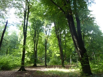
The starting point is the parking lot on the L239 coming from Thale to Friedrichsbrunn. After about 150 meters, keep right on the path of the German emperors and kings of the Middle Ages. Follow this path through the forest to the stamp point HWN 190 Bergrat-Müller Pond. After stamping, the Historical Border Trail leads you past the Gondelteich and about 1 km straight to HWN 191 Laubtalblick. On the way back, you must walk back about 300 meters on the wide forest path and then turn left onto hiking trail 46 E. After about 1.6 km, turn right through an alley to get behind the houses along the field straight back to the starting point.
Nearby
Download GPX file