Circular route Stadtblick (RW 1)

2.55 km long
Round trip
Difficulty: easy
Walking / hiking
  • 0:43 h
  • 2.55 km
  • 65 m
  • 65 m
  • 125 m
  • 191 m
  • 66 m
  • Start: Information board at the parking lot on Hildesheimer Str. Hildesheimer Str.
  • Destination: Same as the start
Short, scenic walk in the meadows above the town.

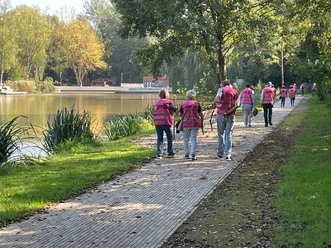
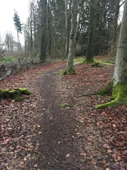
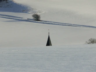
This short path runs for large parts within a landscape conservation area. It is characterized by meadows and pastures on the south slope of the Hagenberg, bordered by hedges and interspersed with loose tree growth. Time and again, beautiful views over the town invite you to pause. Numerous benches offer a short rest. Along a beautiful hollow way, some tiny stalls and garden houses reveal something about the significance of this small-scale structured area. For centuries, the town's farmers have earned part of their daily bread here.

Good to know

Best to visit

suitable
Depends on weather

Directions

Our path initially runs a short distance along Hildesheimer Straße into town and then climbs up to the right through the Habichtsfang to an old barrier. Here we follow the Dr.-Kronenberg-Weg to the left. Some groups of trees and bushes then lead us past a traditional orchard, where an information board provides details about the significance and use of this form of agriculture. Soon you encounter a hollow way which we descend to the left. Our path now reaches the St. Georgshöhe nursing home on the right and turns left into Wiekweg, which then leads between gardens and the stadium to the hospital. Just at the beginning of the hospital grounds, a small metal footbridge on the right still encourages a detour off the path. Through a wild park, you can descend to the nearby town center and crown the varied walk with a cup of coffee. The main path continues straight into Unter dem Hagenberge street. In the next left curve, it then goes down a somewhat bumpy trail to Hildesheimer Straße, and by keeping left, we quickly reach our parking lot again.

Directions & Parking facilities

From the south: A7 towards Hannover, exit 68 Echte, direction B445 Bad Gandersheim/Kreiensen.

From the north: A7 towards Kassel, exit 67 Seesen/Harz, direction Seesen/Osterode/Bad Gandersheim.

A free parking lot is available near the start.

Arrival by train

From Hannover: Metronom to Kreiensen. Change to the regional train to Bad Harzburg. From Göttingen: Metronom to Kreiensen. Change to the regional train to Bad Harzburg.

Author´s Tip / Recommendation of the author

From the barrier at Hagenberg, it is also worthwhile to explore the diverse terrain on your own. The constant view of the town essentially prevents getting lost.

Safety guidelines

Trail marker: red 1 on white rectangle

Map

Bike and hiking map Bad Gandersheim Scale 1:25,000 Price: €3.50

Sale: Tourist Information Bad Gandersheim

Nearby