Hühnerbalzloipe (Tanne)

- 0:59 h
- 4.21 km
- 46 m
- 46 m
- 488 m
- 530 m
- 42 m
- Start: Schierker Weg towards the hotels
- Destination: Schierker Weg
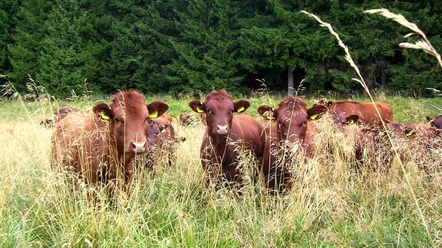
Here you have a wonderful view towards Wurmberg and the Brocken. The trail turns left here; you also have the option to switch to the meadow trail or the practice trail. After a leisurely descent, the trail winds along the forest edge, and with a bit of luck, you might encounter the Harz narrow-gauge railway on its way to the Brocken. The trail continues through a forested area and over the meadows back to the starting point.

Good to know
Pavements
Best to visit
Directions & Parking facilities
You can reach Tanne by car:
- from the direction of Wernigerode via the B244, turnoff Elbingerode B27, continue to turnoff Königshütte L98 towards Tanne
- from the direction of Braunlage via the B242, towards Tanne
- from the direction of Nordhausen via the B4 to the turnoff L98 Benneckenstein towards Tanne
You can reach the Harz town of Tanne by bus from the Harzer Verkehrsbetriebe:
from the direction of Wernigerode.
TIP:
With the Harzer UrlaubsTicket you can travel free of charge throughout the entire Harz district.
HATIX – free use of the public bus lines of the Harzer Verkehrsbetriebe, the Q-Bus local transport company, the Halberstädter Verkehrs-GmbH, as well as the Verkehrsgesellschaft Südharz in the Harz district.
More information is available at: www.hatix.info
Additional information
Hauptstraße 19
38875 Oberharz am Brocken OT Elend
Phone: 039455 375
elend@oberharzinfo.de
www.oberharzinfo.de
Nearby


Download GPX file