Over the Sachsenstein (Walkenried-Neuhof-Bad Sachsa)


- 2:10 h
- 8.32 km
- 98 m
- 63 m
- 266 m
- 321 m
- 55 m
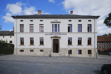
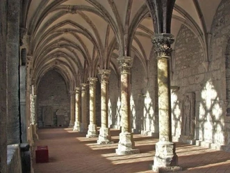
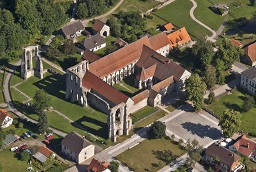
- Start: Walkenried monastery, alternatively Walkenried station
- Destination: Center of Bad Sachsa, alternatively station

Good to know
Best to visit
suitable
Depends on weather
Directions
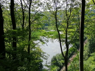
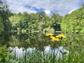
The path leads along the monastery ponds to the Sachsenstein (HWN 166) and then through Neuhof. The stamp station Gipsbrennofen (HWN 192) is located by the crane ponds. Behind the ponds, we turn right into the residential area to reach Bad Sachsa station and follow circular route no. 7 to the center of Bad Sachsa.
A shorter option ends already at the station.
Directions & Parking facilities
Past the exit of Walkenried towards Wiedigshof
Monastery car park
Walkenried station, or bus 470, 471 and 472
Author´s Tip / Recommendation of the author
Stamp stations 166 and 192
Nearby