Brocken circular route


- 0:30 h
- 2.03 km
- 37 m
- 14 m
- 1,103 m
- 1,140 m
- 37 m
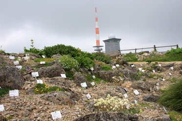
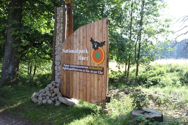
Well-illustrated information boards provide details about the history and special features of the Brocken, as well as its unique flora and fauna. Those who want to learn more can visit the National Park visitor center Brockenhaus and then refresh themselves in a small café.

Good to know
Pavements
Best to visit
Author´s Tip / Recommendation of the author
The free daily ranger-led tour is also recommended. Current information can be found on the National Park website
Safety guidelines
Please wear weather-appropriate clothing!
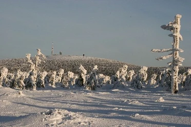
The climate on the Brocken can be compared to that of Iceland or the Alps at an altitude of 2,000 to 2,200 meters. The Brocken summit is the windiest place in Germany and Central Europe. On average, the wind blows at six Beaufort or 42 km/h throughout the year. Storm gusts are recorded on over 100 days per year, and the highest wind speed was measured on November 24, 1984, at 263 km/h.
Nearby
