Fox Circular Trail


- 1:30 h
- 5.44 km
- 109 m
- 103 m
- 236 m
- 299 m
- 63 m
- Start: Residential area Hellegrund
- Destination: Residential area Hellegrund
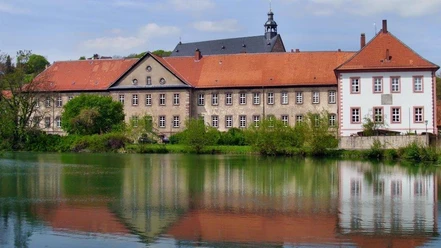
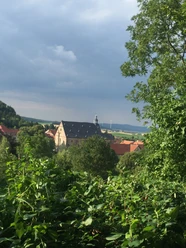
The starting point is the district of Hellegrund with a parking lot at the end of the road leading to the forest. On a narrow path, we walk slightly to the right in the forest until we reach a forest path on which we walk westward, partly steeply downhill, to the "Graster Knick." Here, one could take a short break and enjoy the view of the Sackwald opposite. Following the existing markings, we continue northward but soon turn at a right angle to the west. At the edge of the forest, with views of the villages of the joint municipality, we proceed on a forest path roughly toward the north until we reach a forest service road above the village of Netze, where there is a bench to rest. We continue at a right angle to the east on the forest gravel path, gently ascending into the "Lower Mountains," until after several switchbacks we see a fox sign ahead.
We follow the indicated direction, almost pathless but well marked, until we come upon a narrow path that we follow according to the directional arrows. Soon we are led southward and walk on a gravel path below the "Riesenberg" through the "Hartlah" back to the district of Hellegrund.

Good to know
Pavements
Best to visit
Directions
The starting point is the district of Hellegrund with a parking lot at the end of the road leading to the forest. On a narrow path, we walk slightly to the right in the forest until we reach a forest path, a section of the King's Trail, on which we walk westward, partly steeply downhill, to the "Graster Knick." Here, one could take a short break on a bench with a table and enjoy the view of the Sackwald opposite with the Hohe Schanze. Following the existing markings, we continue northward but soon turn at a right angle to the west. At the edge of the forest, with views of the villages of the joint municipality, we proceed on a forest path roughly toward the north until we reach a forest service road above the village of Netze, where there is a bench to rest. We continue at a right angle to the east on the forest gravel path, gently ascending into the "Lower Mountains," until after several switchbacks we see a fox sign ahead.
We follow the indicated direction, almost pathless but well marked, until we come upon a narrow path we follow, and then reach the so-called Vierländereck. Here, we turn slightly downward to the east according to the signage until we reach a gravel path, then south, that is to the right, and below the "Riesenberg" through the "Hartlah" back to the district of Hellegrund.
Directions & Parking facilities
Nearby


Download GPX file