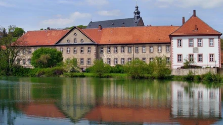
From the low mountains to the Rennstieg


- 2:00 h
- 30.21 km
- 498 m
- 497 m
- 156 m
- 368 m
- 212 m
- Start: Lamspringe
- Destination: Lamspringe
The Lamspringe forest area, low mountains, and a section of the Rennstieg are covered.

Good to know
Best to visit
Directions
You can join the circular route from anywhere, but it is recommended to start at the Lamspringe forest swimming pool, where the hiking trails also begin. We can follow the forest hiking trail "Meise"; after the first ascent on the right-hand side is the Lamspringe "Brockenblick", from here you can see the Brocken on clear days. We pass the Lamspringe forest stadium on the left. At the fork where we also cross the Königsweg, we continue to use the hiking trail "Steinbock", which leads to the geographic point. There is the intersection at 52° north latitude and 10° east longitude. After reaching the valley, we turn left towards Harbarnsen. At the Harbarnsen "Falkenhorst," you can take a rest if needed; the nearby spring fountain allows you to refill water bottles. In Harbarnsen, we cross the cycle path to art on the old railway embankment. In the center of Harbarnsen is the inn "Harbarnser Hof", with a beautiful beer garden and good home-style cooking. From there, we take Bachstrasse through the village, continuing along the Irmenseuler brook uphill towards Irmenseul. Through the village, up Bergstrasse to the Rennstieg. We continue along the ridge, where several historic hiking trails intersect. We now follow the well-marked Rennstieg to the "hohe Schanze." In the middle of the forest, at Ahrensberg, we turn right to "Tante Gretes Bank," a beautiful viewpoint. We continue on the Rennstieg towards the "hohe Schanze," where there is an educational trail with excavations of an old fortification on the hill. A demanding singletrail then leads down the Schanze to the hiking parking lot at the L488; from there, a hiking trail runs parallel to the main road to Lamspringe. At the end of the forest area, the route continues on the cycle path.
Directions & Parking facilities
Nearby


Download GPX file