Karstwanderweg - Circular route 17 around the Westersteine

- 3:05 h
- 11.38 km
- 203 m
- 201 m
- 296 m
- 371 m
- 75 m
- Start: Bartolfelde, Königsberger Straße, corner of Danziger Straße
- Destination: Bartolfelde, Königsberger Straße, corner of Danziger Straße
This circular route should be walked counterclockwise. Turns are clearly indicated with stones from the surrounding area. It leads down into the Straut valley, up to the elevation of the Westersteine, and circles them; this section is also suitable for strollers. After crossing the road, the route goes over the Mühlenberg and offers beautiful distant views of Bartolfelde in this area. When crossing the Winkeltalstraße, a short detour of 250 m to the former municipal quarry with its significant geological exposure is worthwhile.
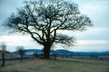
Now the path leads through the fields just before Osterhagen, turns south into the Hellengrund, a sinkhole area with the Grundlos, and then goes over the Jacobsberg, again with beautiful distant views, continuing through the fields back to the starting point. The Barbiser and the larger Bartolfelder Westerstein today appear as small deciduous forests, visible from afar at 355 m above sea level. When the sea flooded large parts of Central Europe 258 million years ago, at the beginning of the Zechstein period, there was here an elongated shallow zone with islands and shallow-water areas. Tropical warm conditions prevailed, similar to those of the Red Sea. Shallow, clear water and high contents of dissolved substances promoted the growth of colony-forming organisms, the Stromatolites, the oldest known life forms at about 3 billion years, whose structures formed powerful reefs from organically formed limestone, towering over the sea floor up to the water surface.
The Westersteine are a excellently exposed, unique reef for Europe, a snapshot from the darkness of Earth's history. The Straut springs lie on the Elbe-Weser watershed and drain into karstified terrain underlain by gypsum. Their water disappears year-round into a deep sinkhole. It is considered certain that the waters flow westward to re-emerge at the Rhume spring. At the end of the hike: stop at Müllers Hofcafé.

Good to know
Pavements
Best to visit
Additional information
Author´s Tip / Recommendation of the author
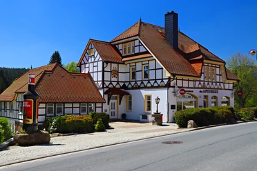
At the end of the hike: stop at Müllers Hofcafé.
Map
Nearby


Download GPX file