Through the Heberbörde


- 2:15 h
- 30.68 km
- 378 m
- 378 m
- 127 m
- 293 m
- 166 m
- Start: Various starting points possible. Starting point no. 1 in the centre of Gandersheim, Stiftsfreiheit car park
- Destination: Circular route with the possibility to use other entry and exit points
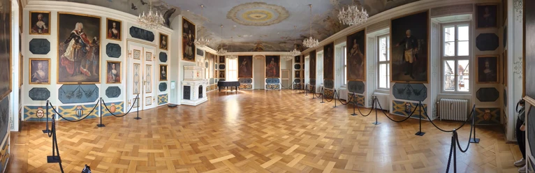
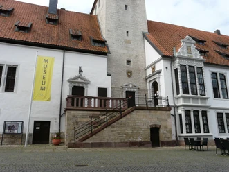
Right from the starting point of the route, you have the opportunity to experience Gandersheim’s history, for example on a walk through the Old Town, as a guest in the City Museum, or with a visit to the Romanesque collegiate church with the exhibition “Discovering treasures anew.” You should also plan a visit to the former Brunshausen Monastery. It is worth seeing the founding place of the Gandersheim Abbey and visiting the exhibitions of the Portal to History there and the local gastronomy. In the district of Clus you will find a Romanesque monastery church with a Gothic carved altar from the year 1487, and on the route between Gremsheim and Ackenhausen you will see on the right side a mighty beech tree. The “Kopfbuche,” an 800-year-old relic and the landmark of Gremsheim.

Good to know
Best to visit
Directions
Our starting point is the collegiate church. From here, we head east, cross the traffic light intersection, and turn left behind the Roswitha Gymnasium. We are now on the Sculpture Cycle Path, which we follow to Brunshausen Monastery.
Here we leave the cycle path and ride on the road into the district of Clus.
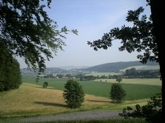
We pass through the village and ride on a hilly stretch (descent, ascent) towards Dankelsheim. At the village entrance, we turn right, then left up to the church and turn right there. On our way to Gehrenrode, we enjoy a wonderful panorama over the Heberbörde. Once there, we follow the path through the village and cross the main road to Lamspringe. We ride about 300 m east and then turn right towards Helmscherode. Continuing along the main road to Altgandersheim, we enter the village, pass the church on the left, and turn left towards Gremsheim. In Gremsheim, we pass the church on the left and follow the path uphill, ride along the forest edge, and at the fork turn left. We then turn right into the forest uphill. After about 700 m, we turn right. We continue downhill to the right and enjoy a nice descent leading to Ackenhausen. We pass through the village westwards via the main road and turn left after 50 m onto a field path. On this path we reach Wolperode. We turn left to the church and follow this path uphill. At the fork, we go left and after about 400 m turn right. We follow this path downhill and reach federal road 64. From here, we turn right onto a cycle path to Seboldshausen and continue on the cycle path back to Bad Gandersheim.
Directions & Parking facilities
Bad Gandersheim is located in the Harz on the A7 between Hanover and Göttingen
Arrival by car
From the south: A7 towards Hanover, exit 68 Echte, direction B445 Bad Gandersheim/Kreiensen. From the north: A7 towards Kassel, exit 67 Seesen/Harz, direction Seesen/Osterode/Bad Gandersheim.
Additional information
City of Bad Gandersheim
Tourist Information
Stiftsfreiheit 12
37581 Bad Gandersheim
Telephone 05382/ 73-700
Fax 05382/73-770
tourist@bad-gandersheim.de
www.bad-gandersheim.de
Author´s Tip / Recommendation of the author
For a stopover, the gastronomy in Wolperode – with products from their own production – and the cafés in Brunshausen with their homemade cakes and tortes are especially recommended.
You should not miss the annual Gandersheim Abbey Festival held every summer in front of the special backdrop of the west portal of the collegiate church.
Safety guidelines
Nearby


Download GPX file