- 1:30 h
- 5.58 km
- 105 m
- 105 m
- 153 m
- 259 m
- 106 m
- Start: Information board at the church in Hachenhausen
- Destination: Same as the start
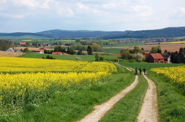
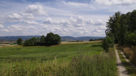
Beautiful, natural field and forest paths shape the route, which first leads from Hachenhausen through the river meadows of the Hasselbeek to the lovely village of Dannhausen. Afterwards, it continues through magnificent beech forest to the Kopfstein, an art-historically and historically significant boundary stone.

Harz: Magische Gebirgswelt
Pavements
- Asphalt (12%)Gravel (50%)Trail (29%)Path (6%)Unknown (3%)
Best to visit
- suitableDepends on weather
Directions
- The circular route begins at the small chapel of the village. The signpost at the hiking map in front of the chapel leads us out of the village with "blue-white". The first path leading to the right is ignored, but at the next fork our route turns left and we stroll without diverting through the Hasselbeek valley to nearby Dannhausen. The "Dannhäuser Anger," the first path that branches right in the village, carries us up to the forest edge. Here we choose a narrow path that leads us down to the left to the village community’s barbecue hut. "Blue-white" now climbs as a narrow path from the hut to a field path at the forest edge. Here we turn right and follow the path through the forest to the next fork at an old beech tree. A signpost and the trail marks initially guide us to a field edge path, which soon becomes a narrow "footpath" and quickly leads to the Kopfstein. After the rest, we return on the familiar path to the old beech and from there keep left through the forest back to the edge of the village. Here we turn left, keep right at the next crossroads and soon reach the "Fasanerie" biotope. Keeping right, we follow the path along the stream bed of the Kohliborn and reach the crossroads again in front of Hachenhausen. On the familiar path, we now quickly find our way back to the starting point of this varied hike.
Directions & Parking facilities
- ParkingFree parking is possible next to the information board at the start
Author´s Tip / Recommendation of the author
- Anyone who likes can climb from the Kopfstein at the field edge to the opposite forest edge and enjoy the exceptional view. Those using the map can find a very nice alternative return route along the forest edges from here. Although no path is marked on the southern forest edge, it is easy to walk there.
Map
Bike and hiking map Bad Gandersheim 1: 25,000
available at the tourist information of the city of Bad Gandersheim
Price: €3.50