- 2:30 h
- 23.14 km
- 734 m
- 734 m
- 272 m
- 638 m
- 366 m
- Start: At the end of the street "Im Ilsetal", 38871 Ilsenburg
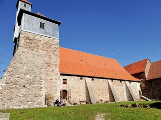
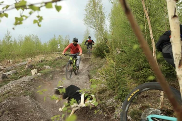
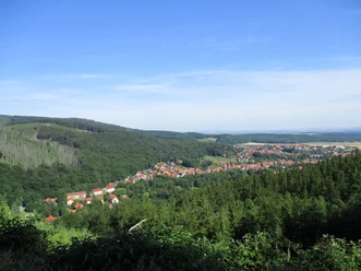
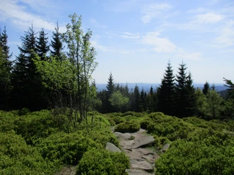
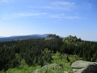
The route starts with a steep climb to the Ilsestein. From there, you have a great view of the Brocken and down to Ilsenburg. Through the Ilsetal, it goes past the Ilse falls up to the Stempelsbuche. From there, the path leads into the Große Sandtal and back up to the Froschfelsen. From there, it is only downhill to Ilsenburg.

Pavements
- Asphalt (6%)Trail (11%)Gravel (83%)
Best to visit
- suitableDepends on weather
Directions & Parking facilities
- Public transportationIt is about 2 km from the central station to the starting point of the MTB routes in the famous Ilsetal. From there, the MTB routes W3, W6, and W7 lead into the Harz National Park.
Additional information
The Volksbank Arena Harz is also available on YouTube.
Map
- The Harz for mountain bikers
Through the extremely varied North German low mountain landscape, 74 signposted mountain bike circular routes (total length 2,300 km) lead, which are classified into three difficulty levels. Official map set "The Harz for mountain bikers". Completely revised and expanded new edition. The new map set consists of a tour book with detachable individual descriptions and detailed maps of the routes. There is also a topographic overview map (1:50,000) on weatherproof and durable POLYART material.
ISBN 978-3-935806-28-2
Price 16.80 €
Publisher map solutions, Karlsruhe 2017