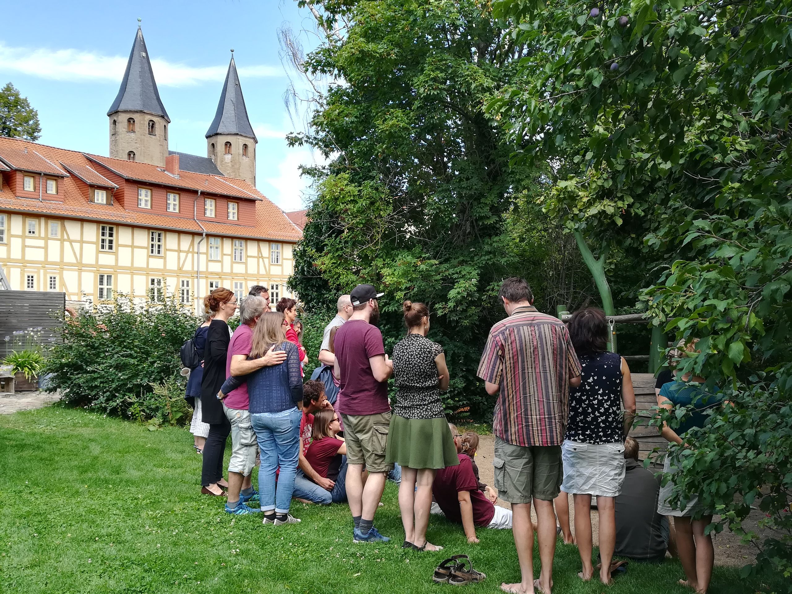
Well informed on the Harz Monastery Hiking Trail

Signposting
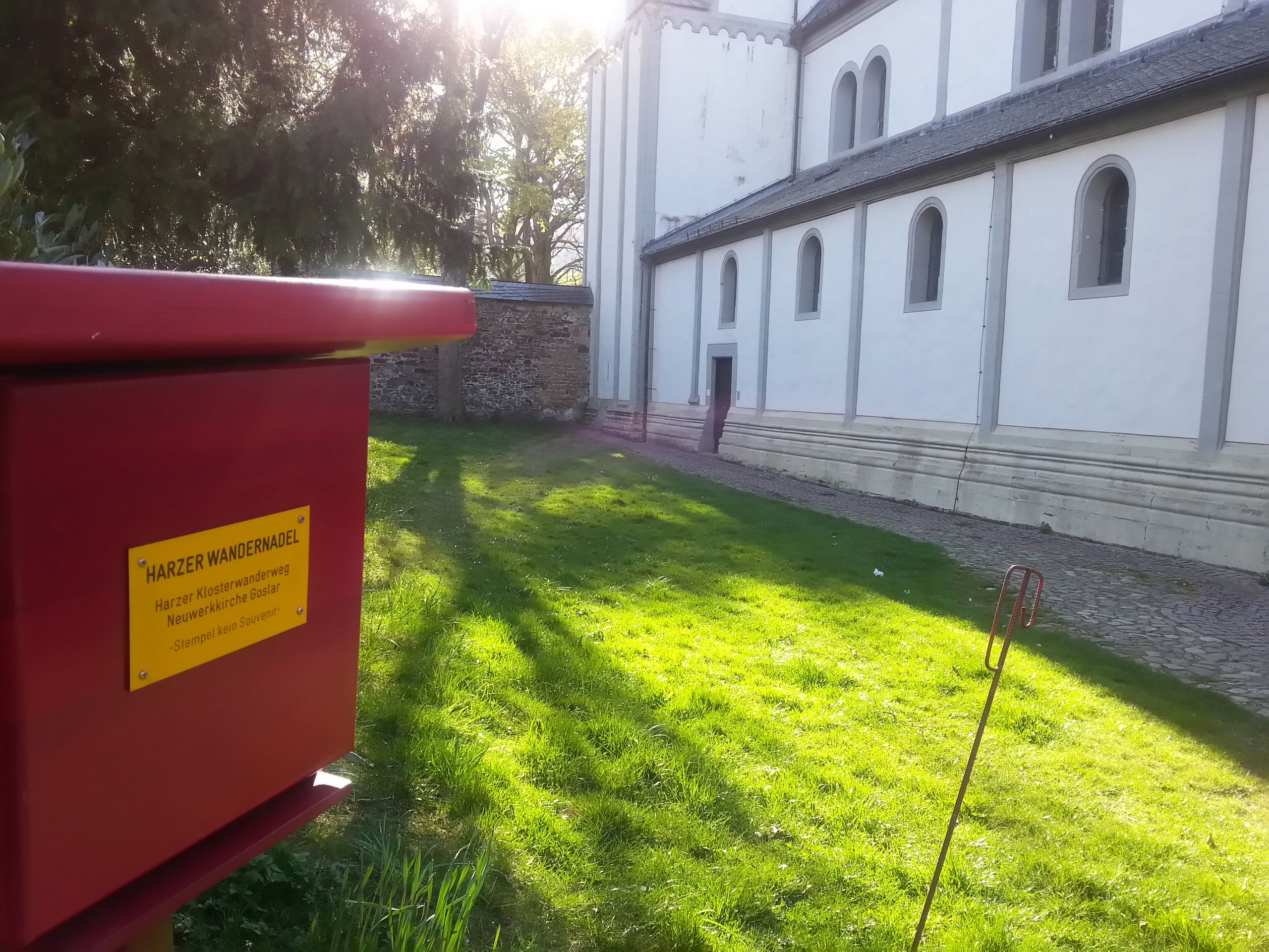
The Harz Monastery Trail is marked with a circled cross in dark red. Since signs may occasionally be missing due to weather conditions or souvenir hunters, it's worth taking the hiking map with you or downloading the official GPS track onto your phone. If you notice missing or damaged signs, the Harz Monasteries office would appreciate your feedback.
Travelling by bike
You can cycle along about 85 percent of the route without difficulty. Some sections – for example along the Ecker between Vienenburg and Ilsenburg, at the Teufelsmauer near Blankenburg, in Ilsenburg Castle Park and across the Harsleben Hills – are not suitable for bikes. In the hiking map, you’ll find alternative routes along roads. After rain, the ground on forest and field paths can be soft or muddy.
Public transport
There are train stations in Goslar, Vienenburg, Ilsenburg, Wernigerode, Blankenburg, Thale, Quedlinburg and Halberstadt. Trains and buses run parallel to the route, so you can plan individual stages flexibly or return to your starting point. It's best to check timetables in advance, as not all lines operate throughout the day. If you stay overnight in the Harz, you’ll receive the Harz Holiday Ticket HATIX. With it, you can use many bus connections along the monastery trail free of charge during your stay.