H1 Spitzenberg Cliffs Route


- 1:30 h
- 15.91 km
- 455 m
- 455 m
- 288 m
- 640 m
- 352 m
- Start: Valley station of the Burgberg cable car, Nordhäuser Straße 2 A, 38667 Bad Harzburg
On the sporty route through deciduous forest, you will pass two impressive quarries. It starts with a solid climb on gravel, then relaxed over hills and valleys to beautiful viewpoints (Brockenblick hut).
Caution, in the Tiefenbachtal it can be slippery when wet. The Ahrendsberger Stieg down to Bad Harzburg is a challenge – those who are not confident should better push here.
Recommended from 12 years
Opportunities for refreshment in town
BAD HARZBURG
has even more to offer families!
Tree Top Walk and Tree Cableway
Experience Cinema Hickhack around Harzburg
Elfstein Wildlife Park
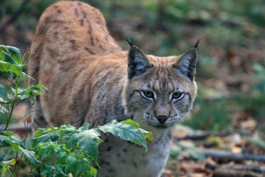
Wildcat enclosure
More info on family holidays HERE


Good to know
Best to visit
Directions & Parking facilities
Additional information
Map
Through the extremely varied North German low mountain range landscape run 74 signposted mountain bike circular routes (total length 2,300 km), classified into three difficulty levels. Official map set "The Harz for Mountain Bikers." Completely revised and expanded new edition. The new map set consists of a tour book with tear-out individual descriptions and detailed maps of the routes. In addition, there is a topographic overview map (1:50,000) on weatherproof and durable POLYART material.
ISBN 978-3-935806-28-2
Price 16.80 €
Publisher map solutions, Karlsruhe 2017
Nearby




Download GPX file