- 1:40 h
- 4.88 km
- 243 m
- 243 m
- 420 m
- 564 m
- 144 m
- Start: Hiking car park on the Harzhochstraße B242
- Destination: Hiking car park on the Harzhochstraße B242

Best to visit
- suitableDepends on weather
Directions
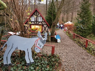
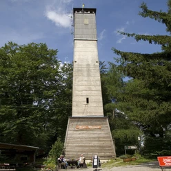
The Iberg is very well developed for tourism. The themed hiking routes Harzer Baudensteig and the Karstwanderweg run through the area; the Harzer Försterstieg (trail marker oak leaf) touches it. In addition, there are partly overlapping circular routes of Baudensteig and Karstwanderweg, whose trail markers differ slightly from those of the main themed routes. No confusion arises regarding the trail markers of the terrain short routes (differently colored leaves) and the König-Hübich route (golden crown). The start and end of our circular hike through the Iberg FFH area is the hiking car park on Harzhochstraße B 242 opposite Hübichenstein (landmark 1 of the UNESCO Geopark). Directly at the car park we follow the signposting to our first destination, Albertturm. A steep ascent, the Hippelweg, marks the western boundary of the FFH area. To the right of the path, wood anemones and woodruff in the herb layer as well as the dominance of the beech indicate the FFH habitat type woodruff-beech forest. We continue up the mountain. After turning right onto the Upper Iberg path, a lot of standing and lying deadwood can be discovered. The forest is largely left to itself over almost the entire Iberg. The result is an extraordinarily high abundance of insects. 15 species of bats benefit from this rich buffet. Their winter quarters lie to the right of the path. These are caves not developed for tourism. Their number in the FFH area is given as 80. At the fork in the path we go left and reach the 32-meter high Albertturm via the glacial potholes (information board). Climbing the tower is worthwhile because of the wonderful view. A refreshment is promised by the subsequent stop at the rustic forest inn (stamp point 130 of the Harzer Wandernadel).
Roast Pork & Bismarckklippen
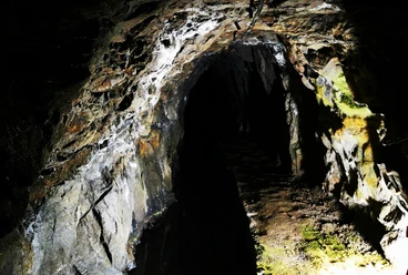
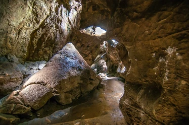
Continuing on the Karstwanderweg, we reach the viewpoint of the Winterberg limestone quarry. Back on the forest road Turmweg, we take the second turning right. We are now on the Harzer Baudensteig. Here it marks the northeastern edge of the FFH area, an area in which the spruces are being pushed back and instead, their long-term native tree species are to be promoted. The fact that the calcium-poor Kulmgrauwacken underlie the area, which surround the Iberg reef limestone complex on all sides, is shown to us by the bilberries growing here. They are pronounced acid indicators. We then reach a crossing where eight paths converge. One of them is the Harzer Försterstieg. Why the crossing carries the strange name "Schweinebraten" is explained at the shelter on the Harzer Baudensteig. Returning from our short detour there, we decide at Schweinebraten for the Lower Iberg path (Harzklub main hiking trail 7b). The beech forest here has less undergrowth than that in the western part: an optimal hunting ground for the greater mouse-eared bat. To the left in the Teufelstal is the Cave Experience Center. Anyone who wants to take a look inside the Iberg is recommended a short detour there (geopoint 2 in the area of landmark 1 of the UNESCO Geopark). Otherwise, it goes uphill to the right, following the Harzer Baudensteig towards Bismarckklippen. Warm-loving species such as yew, service tree, and the brown-red bird's-nest orchid show the habitat type Central European orchid-limestone beech forest. At the top, we find the brown wood fern and limestone bluegrass, typical representatives of the habitat type limestone rocks with rock crevice vegetation. Via Harzer Baudensteig, Upper Iberg path, and Hippelweg, it goes back to the car park.
Directions & Parking facilities
- Parking
At the hiking car park on the B242.
Additional information
Tourist information
Bad Grund Health Center
Schurfbergstraße 2
37539 Bad Grund (Harz)
Tel: 05327 700710