Nordic walking round (Haferfeld | Gernrode) - Black

14.51 km long
Round trip
Difficulty: medium
Condition: medium
Nordic walking
  • 3:00 h
  • 14.51 km
  • 469 m
  • 223 m
  • 235 m
  • 569 m
  • 334 m
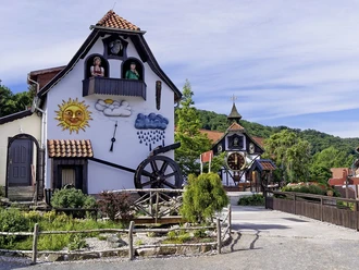
  • Start: Haferfeld / Gernrode car park
  • Destination: Haferfeld / Gernrode car park

Nordic walking route for experienced walkers and hikers

A varied circular route on excellent forest paths with very good signage.

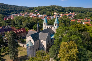
This route is one of a total of four designated Nordic walking rounds that start and end directly at the Haferfeld car park. The route, consistently marked with a black sign, loops twice past Neuer Teich. The signage is ideal except for one spot and the route mainly follows very good forest paths.

The path is suitable for Nordic walking, jogging, and hiking - cycling is also possible without problems.

Harz: Magische Gebirgswelt

Good to know

Best to visit

suitable
Depends on weather

Directions

Start at the information board at the Haferfeld / Gernrode car park - head west and then immediately north - follow Kupferbergsweg for 2.4 km to a junction - go straight across the junction and south on Brandkopfsweg - follow the path past Neuer Teich - at 4.9 km turn onto a slightly narrower path towards the southwest - at 5.2 km shelter / seating (the sign is located on the back of the signpost when arriving) - Rambergsweg - at 7.0 km head east - at 7.6 km turn onto a narrow path heading east - Paulswiesenweg towards north - at 10.2 km Hagental towards north (CAUTION! Sign not clearly visible) - eastern shore of Neuer Teich - sharp right (southeast) onto Futtersackweg - Rambergstraße - Haferfeld car park

Equipment

  • comfortable shoes
  • nordic walking poles
  • packed lunch
  • garbage bag! There are no trash bins along the route.

Directions & Parking facilities

Coming from Quedlinburg heading south via Gernröder Chaussee - L242, through Gernrode towards Harzgerode - L243
Haferfeld car park is the starting point of this and other routes

HVB bus line 242 from Quedlinburg station

approx. 20 minutes travel time

Timetable information: www.insa.de

Additional information

The paths were created with the kind support of SV Germania Gernrode.

germaniagernro.de

Author´s Tip / Recommendation of the author

The route can also be done as a hike with long breaks. However, there are no seating facilities along the way (except for the shelter at 5.2 km). Don't forget a picnic blanket.

Safety guidelines

Due to extremely dry summers, many trees are brittle. Be sure to stay on the paths. In some places there are stacks of wood that are also driven over. Watch out for vehicles!

Nearby