- 3:30 h
- 12.72 km
- 307 m
- 306 m
- 430 m
- 641 m
- 211 m
- Start: Tourist Information Hohegeiß, Kirchstr. 15 a, directly on the B 4
- Destination: same as starting point
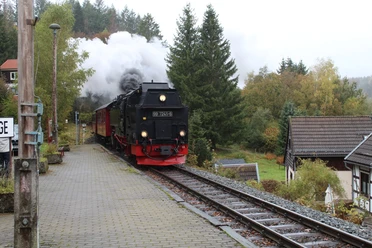
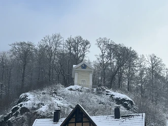
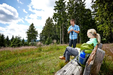
Those who hike this path get to know much of the diverse Hohegeiß surroundings. You reach the highest point of the village, Brockenblick, at 642 meters. You also go down into the romantic Wolfsbach valley. Sometimes it follows developed paths, sometimes narrow trails through meadows and forests. Some places along the route offer fantastic photo opportunities.

Pavements
- Asphalt (8%)Street (2%)Trail (26%)Path (22%)Gravel (41%)Unknown (1%)
Best to visit
- suitableDepends on weather
Directions
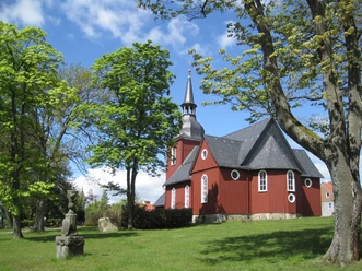
- From the Tourist Information, follow the signs for route 5 to the Protestant church and turn left in front of the church onto "Brockenblickstraße." Follow the street until the paved path, which continues the circular route, turns right. However, it is worth walking about 100 m further straight ahead on the hiking trail to enjoy the view at Brockenblick.
Then, following the route, walk along the former border, past historic border stones, to "Benneckensteiner Straße." Cross this street, and the route continues along the grassy "Zöllnerpfad" following the former border to federal road 4.
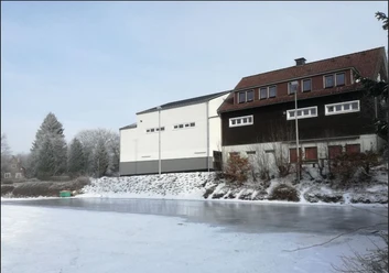
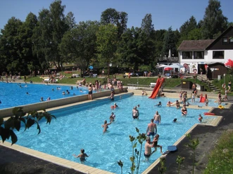
Afterwards, continue west of the B 4 over Mittelberg, where you have a nice view of Hohegeiß. The route passes the Hohegeiß forest swimming pool, goes downhill into the Bärenbach valley, and follows a large curve on the "Oberen Alte-Damen-Weg" around the Hohegeißberg. Then, turn left onto a wide forest road and finally reach the natural monument "Dicke Tannen" and the Wolfsbach valley.
In the Wolfsbach valley, the hiking trail continues uphill to Wolfsbach mill in the direction of Heimathütte. Here, turn right and go downhill through the meadows until you go left in the valley and cross the B 4. After crossing the road, the path leads into the village and back to the starting point. Equipment
- Hiking boots are recommended.
Directions & Parking facilities
- Getting thereHohegeiß is accessible via the B4, Braunlage – Nordhausen, or via the state road Walkenried - Zorge as well as via Hasselfelde - Benneckenstein.ParkingParking lot below the Tourist Information.Public transportation
Bus line 470 VSN from Braunlage (various bus lines meet here) to Hohegeiß, stop in the village: "Hindenburgstraße"
Arrival by train:
- From the south: via Walkenried station or Bad Sachsa station. There, direct transfer to bus line 470 towards Braunlage.
- From the north: via Bad Harzburg station; from there bus line 820 KVG. Via Wernigerode station: line 264 HVB. Each to Braunlage central bus station, where you transfer to bus line 470 VSN towards Hohegeiß.
Additional information
Tourist Information Hohegeiß Kirchstr. 15 a, 38700 Braunlage
Tel.: (05583) 241, Fax: (05583) 1235 tourist-info@hohegeiss.de Braunlage Info
Forest swimming pool Hohegeiß Am Bärenbach
Tel.: 0 55 83 / 6 22 or 0 55 20 / 8 04 98 10
Wolfsbach mill forest inn Wolfsbach valley
Tel.: 0 55 83 - 93 91 92 wolfsbachmuehle@t-online.de
Author´s Tip / Recommendation of the author
- Stop at about halfway at the Wolfsbach mill forest inn and enjoy a break here on the cozy terrace or inside the inn.
Safety guidelines
In rain, the path can be partially difficult to walk.
Several federal and state roads are crossed multiple times. In some parts, the route also runs briefly on paved roads. Special caution is required here, please watch out for traffic!