- 4:00 h
- 40.45 km
- 572 m
- 572 m
- 626 m
- 894 m
- 268 m
- Start: Tourist Information, Am Kurpark 9, 37444 St. Andreasberg
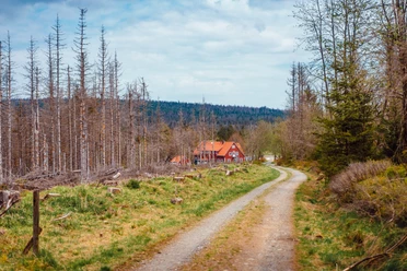
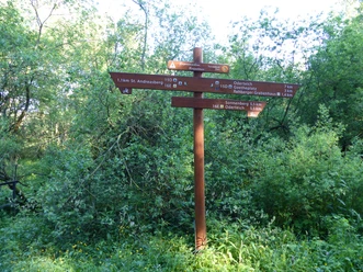
Demanding but rarely steep route. Technically challenging plank trail between Oderteich and Sonnenberg (dangerous when wet). There are swimming opportunities at Oderteich, where many hikers also walk in good weather. Special signage in the Harz National Park.

Pavements
- Asphalt (41%)Street (2%)Trail (7%)Gravel (45%)Path (4%)Unknown (1%)
Best to visit
- suitableDepends on weather
Additional information
The Volksbank Arena Harz is also available on YouTube.
Map
The Harz for Mountain Bikers
Through the extremely varied North German low mountain range landscape run 74 signposted mountain bike circular routes (total length 2,300 km), classified into three difficulty levels. Official map set "The Harz for Mountain Bikers." Completely revised and expanded new edition. The new map set consists of a tour book with detachable individual descriptions and detailed maps of the routes. In addition, there is a topographic overview map (1:50,000) on weatherproof and durable POLYART material.
ISBN 978-3-935806-28-2
Price €16.80
Publisher map solutions, Karlsruhe 2017