- 3:57 h
- 39.19 km
- 607 m
- 774 m
- 76 m
- 369 m
- 293 m
- Start: "Hohe Schanze" Parking Lot, Lamspringe
- Destination: Hildesheim Cathedral Courtyard
The old courier trail is perfect for mountain biking or hiking as a day trip. A detailed route description can be found under "Route Description."

Best to visit
- suitableDepends on weather
Directions
In the southern part of the Sackwald forest, there are additional historic castle ramparts: "Die Tiebenburg," "Der Wall am Gartenkamp," "Der Wall am Dörhai," "Die Ohlenburg," "Die Läseckenburg," and "Die Burg Hausfreden." All of these castle ramparts are easily accessible from Lamspringe.
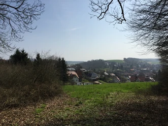
From the “Hohe Schanze” hiking parking lot, the trail leads uphill toward Rennstieg; after about 250 meters, we turn left and follow the road for approximately 1.5 km. We are now below the “Hohe Schanze”; from here, we turn right onto a narrow path that climbs steeply uphill—we have just under 100 meters of elevation gain ahead of us!
We’re now on the plateau of the Hohe Schanze; from here, we’ll follow narrow trails to the main road, past the Samesbuche, toward Rennstieg.
Here we can take a detour to Winzenburg.
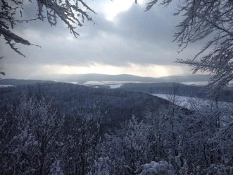
Otherwise, the route continues along the Rennstieg through the beautiful southern Sackwald. Above Irmenseul, we can take a detour to the “Irminsäule,” enjoy the beautiful view of the Riehetal, and take a break.
We continue on to Adenstedter Berg, partly along the Waldrandweg with its beautiful views, past the old forest sports field.
Now the trail follows the Rennstieg through the Sieben Berge to the Wernershöhe cultural hostel. Wernershöhe is located on the L 485 from Alfeld (L.) to Sibbesse. >Bus connection: RVHI Line 44 to Alfeld (L.) or Hildesheim. There is a hiking parking lot at the Wernershöhe pass summit.
The next stage destination is Eberholzen; the route heads into the Sieben Berge, around the Drohnenberg to the Hainberg, and onto the Rennstieg. Here, the Königsweg from Brüggen joins the “Rennstieg.” This section is identical to the historic “Rennstieg” up to just above Winzenburg. “Königsweg” marker: “K” (royal crown); “Rennstieg” marker: “R” (black Hödeken).
In addition, the Jacobsweg (“Via Scandinavica”), which runs from Lübeck to Göttingen, follows the same route as the Rennstieg starting from the city of Hildesheim. Marker: “Yellow scallop shell on a blue background.”
There is a hiker’s parking lot at Eberholzen on the edge of the forest. In Eberholzen >Bus connection: RVHI Line 51 to Gronau (L.) and onward to Hildesheim<
The trail continues through Feldmarkt into the village of Nienstedt, where we cross the L 482.
Through a small stream valley between the Haibe, rg, and Linkberg, as well as the Hainholzberg, the route heads toward Diekholzen.
We see the ICE railway line, which then continues below us through a tunnel (Eichberg Tunnel).
Through the Beuster Valley, past the potash plant and the hospital, we continue along the Kammweg toward the Hildesheim Forest, passing the Bosch-Blaupunkt plant on our left.
We head through the city along Steinbergstraße toward Hildesheim Cathedral.
Directions & Parking facilities
- ParkingYou can easily park your car at the "Hohe Schanze" hiking parking lot.
Additional information
Due to the geological structure of the Alfeld Mountains, there was very little traffic in the area. Originally, the Rennstieg must have been a narrow path known only to those in the know as a secret trail. By the 9th century, this path was already referred to as the “Renniphat”; over the course of time and centuries, it became better known and was eventually widened. The Rennstieg is considered particularly significant because it is believed to have served as an escape route to the Old Saxon fortresses during the conquest of our Lower Saxon tribe by the Franks. The Hohe Schanze near Winzenburg is a prime example of such a refuge for the people when they were in distress. In the Eberholzen Forest (Vorberge), the Rennstieg splits into two paths, the first of which leads to the Königshof in Brüggen and thus connects directly to the ancient Königsweg leading to Marienburg, while the other path leads to Hildesheim, passing through the Hildesheim Forest, . From this junction, which is still clearly visible today, the Rennstieg runs across the Vorberge and continues along the ridge of the Sackwald to Winzenburg and the Hohe Schanze.
In 2002, the 48-kilometer-long Rennstieg was revived as a hiking trail. The trail is marked with a white “R.” Where the Königsweg joins it, the trail is marked with a royal crown and a “K.” In addition, the Jacobsweg (Via Scandinavica), which runs from Lübeck to Göttingen, follows the same route as the Rennstieg starting from the city of Hildesheim; it is marked by a yellow scallop shell on a blue background.