S4 Around the Großer Krautliet

- 3:00 h
- 31.81 km
- 800 m
- 800 m
- 245 m
- 540 m
- 295 m
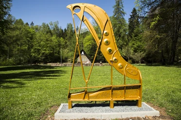
- Start: Steinway Park Seesen, Granestraße, 38723 Seesen
Technically an easy route with longer ascents, hardly any trails, but with beautiful views into the Harz foreland. It initially goes north along the Harz cycling route before the route leads uphill into the forest and finally winds back to the edge of the Harz with frequent changes of direction.

Good to know
Pavements
Best to visit
Directions & Parking facilities
Additional information
The Volksbank Arena Harz is also available on YouTube.
Map
The Harz for mountain bikers
Through the extremely varied North German low mountain landscape, there are 74 signposted mountain bike circular routes (total length 2,300 km), classified into three levels of difficulty. Official map set "The Harz for mountain bikers." Completely revised and expanded new edition. The new map set consists of a tourbook with detachable individual descriptions and detailed maps of the routes. In addition, there is a topographic overview map (1:50,000) on weatherproof and durable POLYART material.
ISBN 978-3-935806-28-2
Price €16.80
Publisher map solutions, Karlsruhe 2017
Nearby


Download GPX file