S5 The 1000m route

- 4:00 h
- 35.66 km
- 1,017 m
- 1,017 m
- 215 m
- 546 m
- 331 m
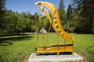
- Start: Steinway Park Seesen, Granestraße, 38723 Seesen
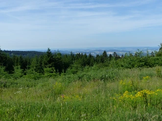
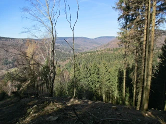
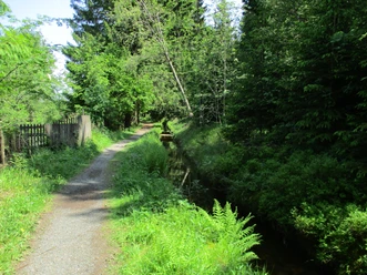
Difficult route with numerous steep ascents and descents. In the Tränkebach valley, the bike must be briefly carried uphill on a trail. From Schnapsplatz it goes down to the Innerste dam, where a longer asphalt section serves for recovery. Then comes another steep climb before descending through the Papental to the edge of the Harz. Towards the west, the route circles the entire northwestern edge of the Harz through meadows and fields - a pleasant return ride to Seesen.

Good to know
Best to visit
- suitableDepends on weather
Directions & Parking facilities
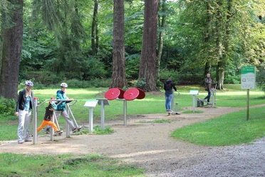
- Public transportationFrom the station about 3 km east towards the town exit lies the spa park (Granestraße), where the five MTB routes S1 to S5 lead from the valley into the mountains.
Additional information
The Volksbank Arena Harz is also available on YouTube.
Map
The Harz for mountain bikers
Through the extremely varied North German low mountain range landscape, 74 signposted mountain bike circular routes (total length 2,300 km) lead, which are classified into three difficulty levels. Official map set “The Harz for mountain bikers.” Completely revised and expanded new edition. The new map set consists of a route book with detachable individual descriptions and detailed maps of the routes. In addition, there is a topographic overview map (1:50,000) made of weatherproof and durable POLYART material.
ISBN 978-3-935806-28-2
Price €16.80
Publisher map solutions, Karlsruhe 2017
Nearby
Download GPX file