- 6:00 h
- 56.16 km
- 1,277 m
- 1,277 m
- 263 m
- 714 m
- 451 m
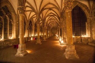
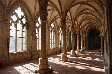
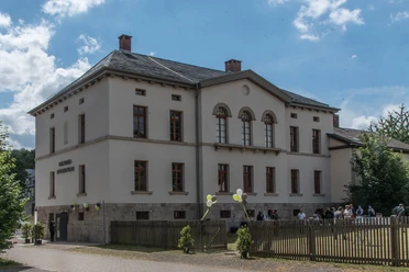
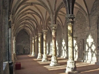
- Start: Parking lot at the Cistercian Museum Monastery Walkenried, 37449 Walkenried (access from Wiedigshofer Straße), entry also possible: Bad Sachsa and Zorge (Tourist Information)
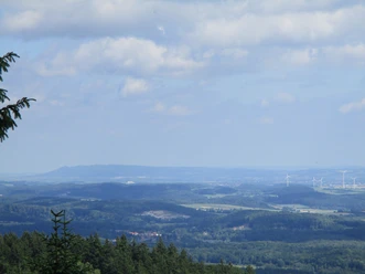
The difficult tour leads from the southern edge of the Harz for almost 30 kilometers to the north, to the Café Forellengrund, which marks the turning point of the tour. The return ride south goes via Kapellenfleck and above the Oder dam up to Stöberhai, then up to Ravensberg and finally over a last climb only downhill back to Walkenried. Both mountains offer good views over the Harz and its surroundings.

Best to visit
- suitableDepends on weather
Directions & Parking facilities
- Public transportationAbout 1 km from the station to the east is the starting point at the Steinweg parking lot (Cistercian Museum Monastery Walkenried). From here, the two MTB routes SW1 and SW2 begin.
Additional information
The Volksbank Arena Harz can also be found on YouTube.
Map
- The Harz for mountain bikers
Through the extremely varied North German low mountain range landscape run 74 signposted mountain bike circular routes (total length 2,300 km), which are classified into three levels of difficulty. Official map set "The Harz for mountain bikers." Completely revised and expanded new edition. The new map set consists of a tour book with detachable individual descriptions and detailed maps of the routes. There is also a topographic overview map (1:50,000) on weatherproof and durable POLYART material.
ISBN 978-3-935806-28-2
Price 16.80 €
Publisher map solutions, Karlsruhe 2017