Stamp collecting in Walkenried Route 4 – 2 stamps


- 2:20 h
- 9.02 km
- 110 m
- 101 m
- 266 m
- 321 m
- 55 m
- Start: Walkenried station, Bahnhofstraße 1, 37445 Walkenried
- Destination: Walkenried station, Bahnhofstraße 1, 37445 Walkenried
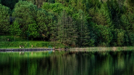
An easy hike along the Andreas, Sack, and Brun ponds past the Sachseneiche, the Helbing hut, to the Sachsenstein hut (stamp 166) leads you further past the Loren monument in Neuhof to the historic gypsum kiln (stamp 192). Then further via the Mehholz viewpoint, to Kutzhütte and along the Höllsteinklippen cliffs back to the station in Walkenried.

Good to know
Pavements
Best to visit
Directions
From the station in Walkenried, embark on a beautiful approx. 9 km long hike through a varied landscape. The path starts along the Walkenrieder fishing grounds, the Andreas, Sack, and Brun ponds, and leads between the Bruns and Sack ponds into the karst hiking trail, which you follow for a while. The ponds are really very idyllically located. The next highlights are the Sachseneiche, an approximately 850-year-old oak tree (natural monument), and the Helbing hut. From here, it is only a stone's throw to the first stamping point of the HWN on this hike, the Sachsenstein hut (stamp 166). Sitting in front of the Sachsenstein hut, you have a magnificent view of the Harz foreland with its varied fields. Rested, you can then head downhill to the next stamping point, the historic gypsum kiln (stamp 192), passing the Lorenz monument. After stamping your hiking passport, you can continue your way over part of the Neuhof circular trail 10 to the viewpoint at Mehholz. Via Kutzhütte and the Höllsteinklippen cliffs, the route impressively follows the forest edge back to the starting point, the station in Walkenried.
Equipment
Sturdy footwear, packed food in a backpack
Directions & Parking facilities
From Bad Sachsa or Zorge, follow Harzstraße or Bahnhofstraße, then turn right; if coming from Kutzhütte or Neuhof, turn left to the station immediately after the entrance to the town.
In the parking lot in front of the station.
Arrival is possible by train from Nordhausen or Göttingen.
Additional information
Tourist Information Walkenried
Steinweg 4
37445 Walkenried
05525 9989000
info@walkenried-tourismus.de
www.walkenried-tourismus.de
Author´s Tip / Recommendation of the author
There are no dining options along the way, so be sure to pack enough food and drinks.
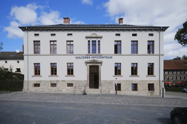
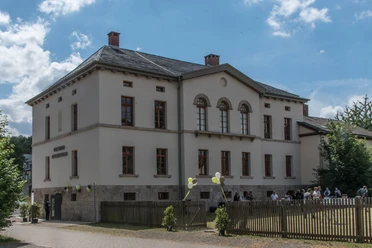
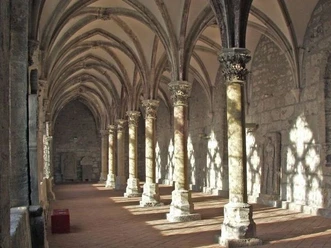
A visit to the World Heritage Information Center and the Cistercian Museum in Walkenried is worthwhile at the beginning or end of the route.
Map
Nearby


Download GPX file